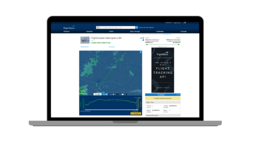
 The FlightAware portfolio of aircraft tracking software has found a good deal of favour among not only the airline community and their passengers, but also the advanced offerings are delivering tangible benefits to operators of business aircraft in terms of aircraft management and logistics planning. While the system works well for fixed-wing operations, thanks to the nature of their operations – predictable flight paths generally in the flight levels as well as origins and departure points at airports – the same could not be said of helicopter operations. Until now, that is. RotorHub International got to meet with FlightAware’s Matt Davis (President and General Manager), James Parkman (Senior Product Manager) and Kathy Bangs (FlightAware spokesperson) for an in-depth briefing on FlightAware Helicopters ahead of today’s launch (16 October).
The two key additions that have made a Helicopter-specific version a practical reality is the addition of the Inmarsat Aerion Satellite-based ADS-B receiver, which means that any aircraft fitted with a 1090MHz transponder can be tracked not only by the 34,000 plus terrestrial ADS-B receivers but also the global coverage of the satellite network. “The prime limitation of ADS-B reception is that it is ‘line of sight’ and since helicopters fly much lower, they will frequently be masked by terrain or buildings, or in the case of offshore support pass out of range of land-based receivers,” explained Davis. “The addition of Aerion capability removes that problem.” With the new capability, the system’s algorithms take the ‘best accuracy’ data from either source and use it for that breadcrumb. “You can see it when you look at the data sources in a spidertrack. You’ll see terrestrial, terrestrial, terrestrial Aireon, Aireon,” said Parkman.
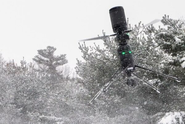
The key advantage of helicopters is, of course, the ability to conduct off-airport operations. Indeed, for most helicopter tasks, it’s the entire raison d’être – but a significant challenge for a flight tracking service. It also proved restrictive for the fixed-wing-based versions of FlightAware. “You knew an aircraft landed somewhere in that it had stopped and is on the ground, but, in reality, it was just mind reading,” said Davis, “that’s where the ‘custom airport’ feature comes in. Using this feature, subscribers can place an airport using lat/long anywhere they like. It may be a permanent or semi-permanent position like an oil rig or something that lasts just an hour or so, like an accident site or a construction base,” added Davis. “We’re really excited about the custom airports feature, and you know the custom airports combined with the Aireon capabilities have allowed us to track these helicopters in their actual operating environments in a way we’ve never been able to do before,” said Parkman.